Tazaghart Refuge
Reach the Jacques de Lépiney Refuge at approximately 3,000 m, in the upper Azzadene basin beneath the Tazaghart plateau.
Ride The Atlas / Ski touring
Morocco · High Atlas
An eight-day high-route expedition linking the Tazaghart plateau, steep couloirs, Tizi n’Tadat and the summit of Toubkal.
Duration
8 days
Highest summit
Toubkal · 4,167 m
Mountain refuges
Tazaghart & Toubkal
Discipline
Ski touring
The expedition
This eight-day ski touring expedition crosses some of the high mountain terrain of the Moroccan Atlas, beginning beneath the Tazaghart plateau and continuing to the Toubkal Massif.
After the approach to Tazaghart Refuge, the itinerary focuses on the Tsoukkine and central couloirs before traversing via Tizi n’Tadat to Toubkal Refuge. The final mountain days include Ras n’Ouanoukrim and the summit of Toubkal, followed by a descent towards Sidi Chamharouch and Imlil.
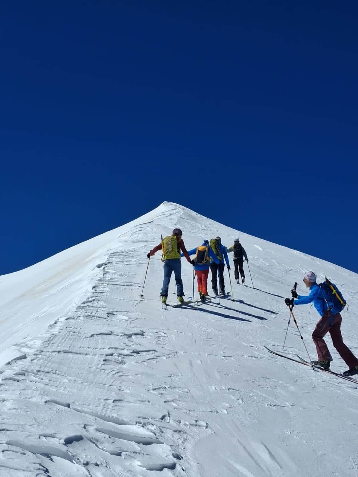
The route combines skinning, booting with skis carried on the pack, steep couloir terrain and high-mountain traverses. The exact objectives and lines depend on snow coverage, weather, visibility and the assessment of the mountain conditions.
The experience
Reach the Jacques de Lépiney Refuge at approximately 3,000 m, in the upper Azzadene basin beneath the Tazaghart plateau.
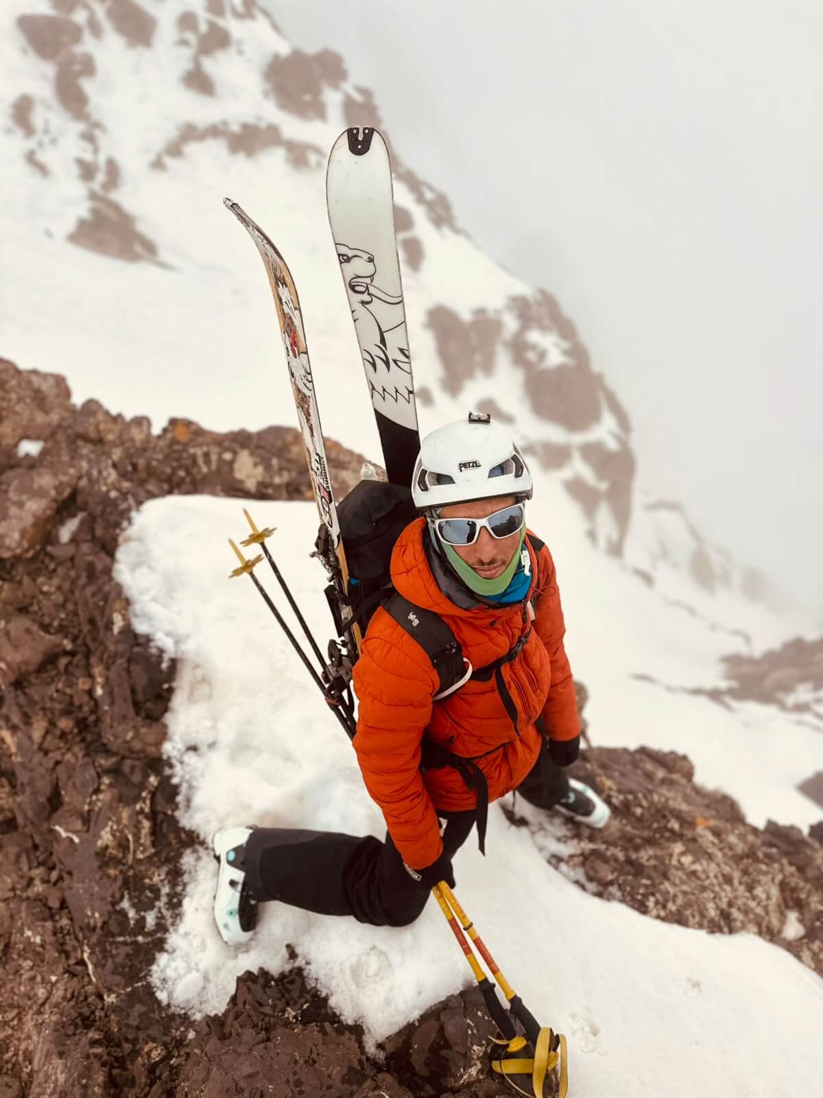
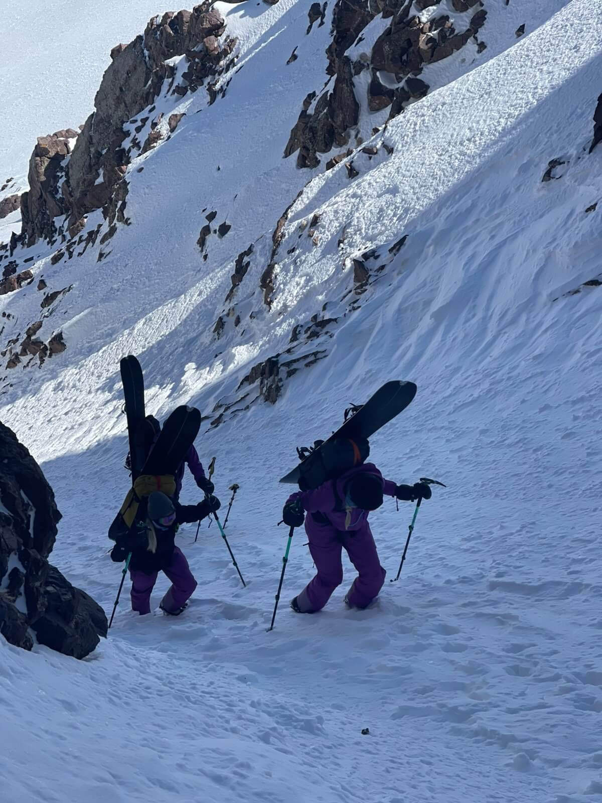
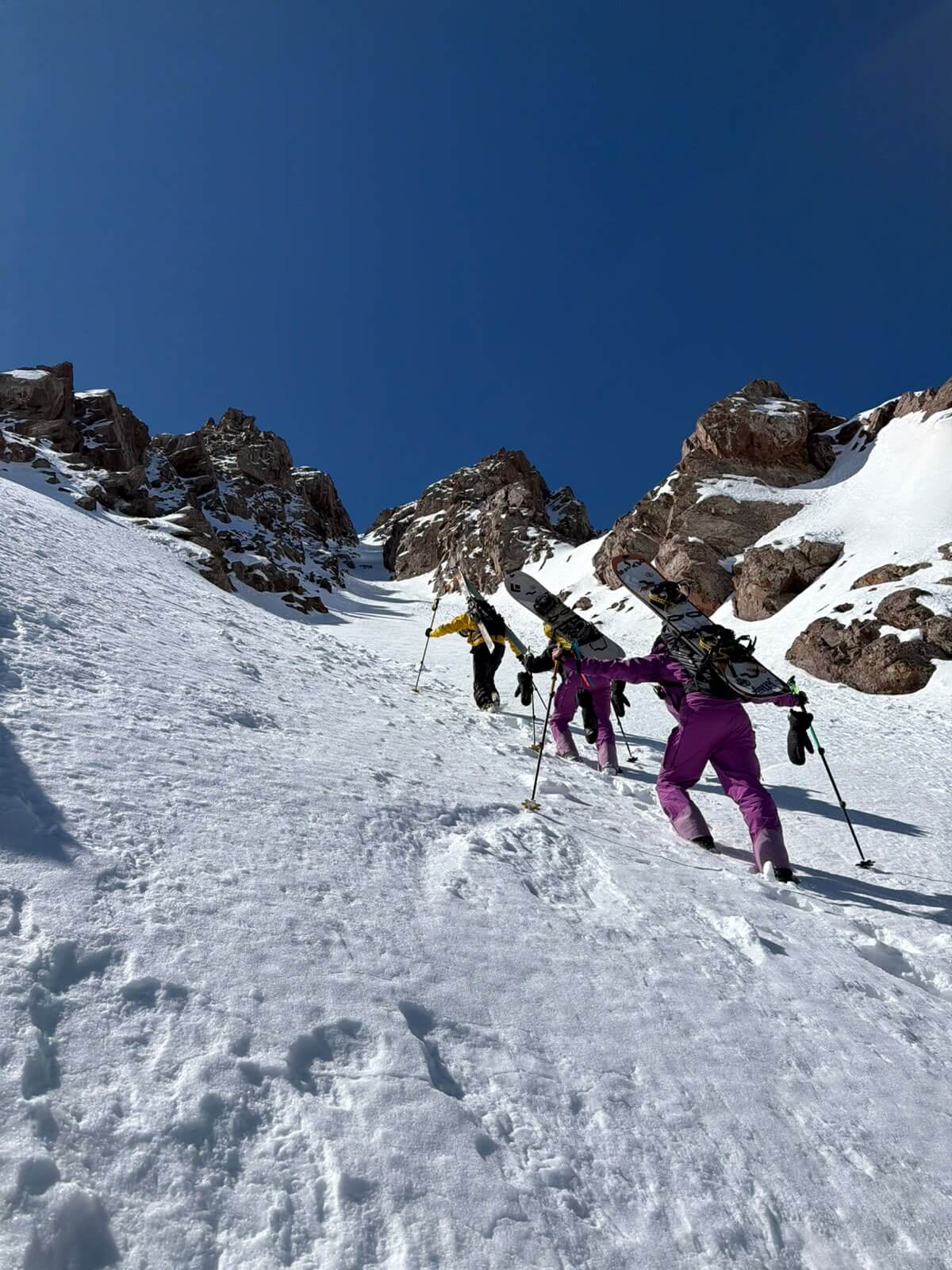
Climb towards the couloir from the refuge, booting the upper section with skis carried on your pack, then ski back to the refuge.
Explore another line on the north-east face of the Tazaghart plateau, with terrain described in the source as exposed in places.
Cross the high terrain via Tizi n’Tadat, a route described in the source as the quickest traverse between the two refuges.
Approach the 4,083 m summit area and its north-east couloir, described as approximately 350 m vertical with an average angle around 35°.
Reach the 4,167 m summit of Morocco and North Africa, with the descent route towards Imouzzer and Sidi Chamharouch chosen according to conditions.
Above the refuge
Day by day
Eight days from Marrakech into the Tazaghart and Toubkal massifs. The mountain plan remains flexible and conditions-led.
Day
Imlil · approx. 1,700 m
Airport arrival · Transfer into the High Atlas
Meet on arrival at Marrakech airport and transfer into the High Atlas to Imlil. Settle into the riad, prepare your equipment and get ready for the mountain approach the following day.
Overnight: Imlil
The transfer time depends on your flight arrival and road conditions.
Day
Tazaghart Refuge · approx. 3,000 m
Approach via Tizi n’Mzic and Azib Tamsoult
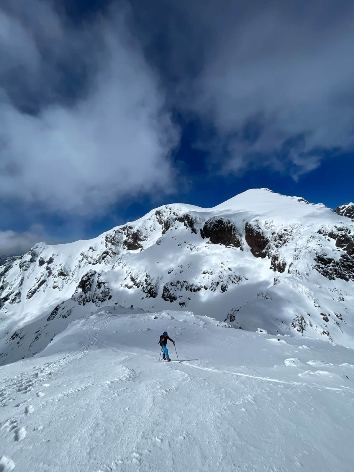
Leave Imlil and head towards Tizi n’Mzic and the Tizi Oussem / Azib Tamsoult area before continuing up to Tazaghart Refuge, also known as the Refuge Jacques de Lépiney.
Depending on snow coverage, the approach may be made on foot or with skins. The route crosses steep, exposed terrain below the Irhoulidene waterfalls; the supplied route document recommends removing skis for this section.
Allow approximately five to six hours for the approach, as planned for this itinerary. The exact route and whether skis can be used on the ascent depend on snow and access conditions.
Ascent: Approx. 5–6 hours for the approach
Overnight: Tazaghart Refuge
The source describes possible mule support to Azib Tamsoult in suitable conditions, with an additional 1½–2 hours for the mule transfer there. This depends on snow and access.
Day
Tsoukkine Couloir · approx. 400 m vertical
Skin towards the couloir · Boot up · Ski back to the refuge
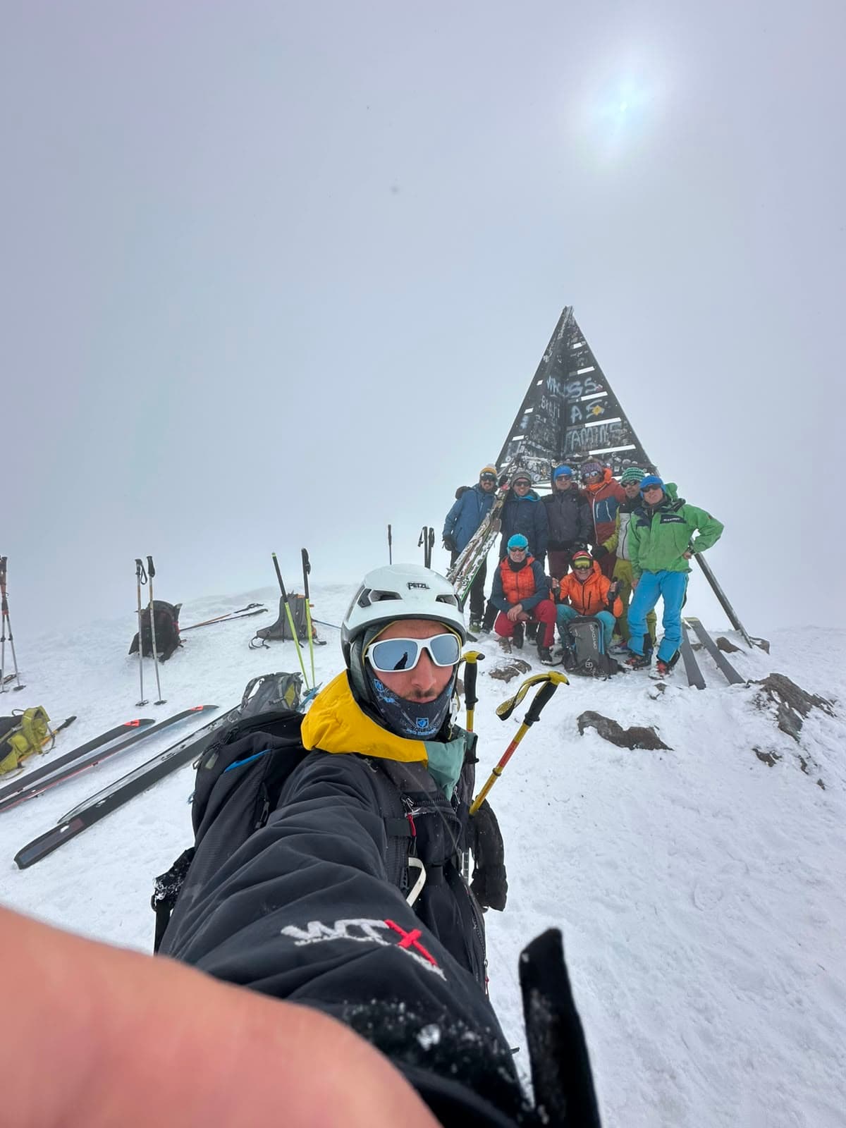
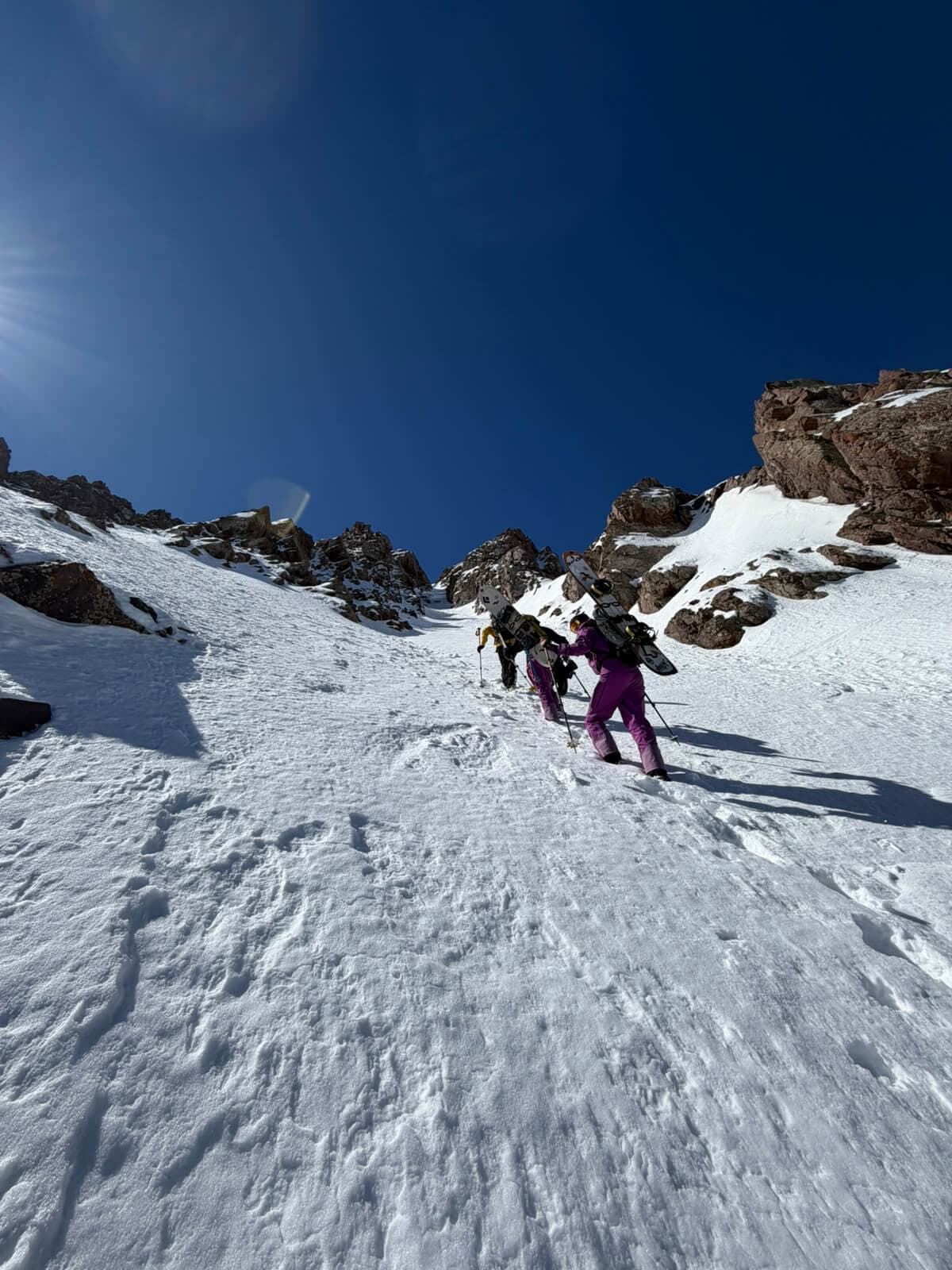
From Tazaghart Refuge, climb on skins towards the start of the Tsoukkine Couloir. The upper section is approached on foot, with skis carried on the pack.
Crampons and an ice axe are required for the booting section described in your itinerary. Allow approximately two to three hours to reach the top of the couloir, depending on conditions and the group.
Ski the couloir back down towards Tazaghart Refuge. The supplied route document describes Tsoukkine as a discreet line, partly hidden behind Tsoukkine, with a broad run-out opposite the refuge and a rocky, less snow-covered upper section.
Ascent: Approx. 2–3 hours to the top, as planned
Descent: Approx. 400 m vertical
Overnight: Tazaghart Refuge
The source gives an approximate couloir angle of 35°. The upper route and snow coverage must be assessed on site.
Day
Tazaghart plateau · approx. 3,800–3,980 m
High couloir day · Return to Tazaghart Refuge
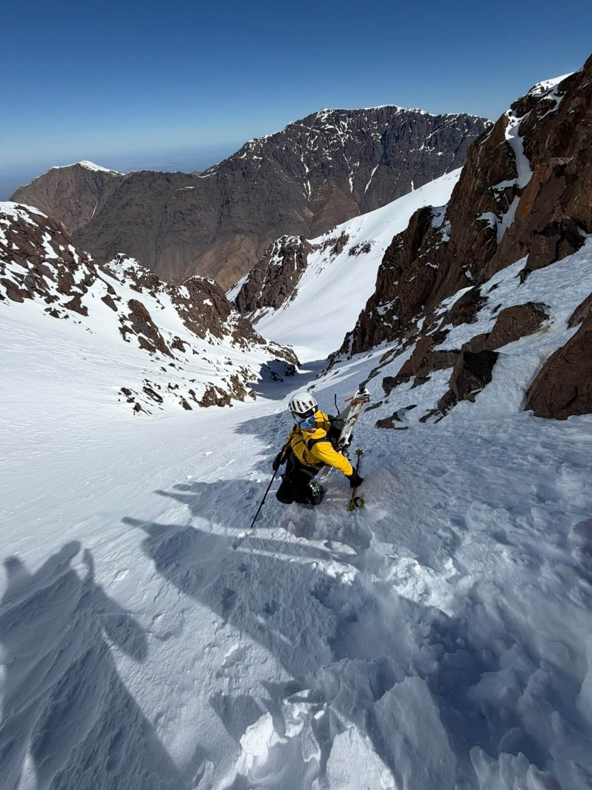
Set out from the refuge towards the central couloir on the north-east face of the Tazaghart plateau. The plateau is described in the supplied document as a high, triangular feature surrounded by steep walls, with several couloirs cut into its north-east face.
The central couloir is described as having two parallel branches, with exposed sections and an approach across a small rocky ridge. The source gives an approximate vertical drop of 600 metres and an angle around 35°.
After the descent, return to Tazaghart Refuge. The exact line and branch will depend on snow coverage, visibility and the assessment of the mountain conditions.
Descent: Approx. 600 m vertical
Overnight: Tazaghart Refuge
The supplied route document warns of exposed terrain and possible rockfall in couloir sections. The route should be assessed by a qualified mountain professional.
Day
Tizi n’Tadat · approx. 3,800 m
High traverse via Tizi n’Tadat
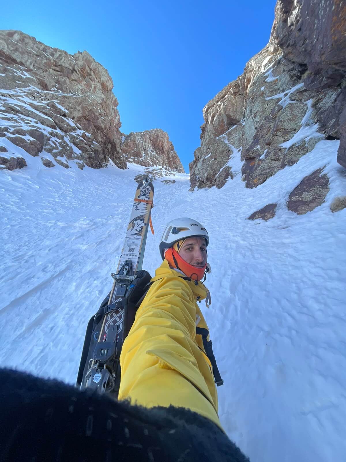
Leave Tazaghart Refuge and climb towards the Aougdal n’Bouidarene bowl. Continue through the west couloir of Biiguinnoussene to reach the Assif Timellilt cirque, then traverse diagonally uphill towards Tizi n’Tadat.
From the col, descend towards the Assif n’Aït Mizane and continue to Toubkal Refuge for the overnight. The supplied document describes this as the quickest traverse between the two refuges.
The descent is described as steep, beginning towards the left before passing between rock bands and entering the east couloir of Tadat. The couloir is narrow and regular, at approximately 30°.
Ascent: Approx. 800 m
Descent: Approx. 600 m
Overnight: Toubkal Refuge · approx. 3,200 m
The source gives an approximate duration of four hours for this traverse. The route and descent depend on snow conditions.
Day
Ras n’Ouanoukrim · 4,083 m
A high-mountain objective from Toubkal Refuge
From Toubkal Refuge, climb towards Ras n’Ouanoukrim and its north-east couloir. The supplied route document gives approximately 900 metres of ascent and around three and a half hours to climb.
The couloir is described as approximately 350 metres vertical, with an average angle around 35°. It narrows to approximately two metres at its tightest point before widening lower down into the Bou Imrhaz bowl.
Ski the couloir and return to Toubkal Refuge for the overnight. The source suggests April and May for this route, while actual suitability depends on the snowpack and conditions on the day.
Ascent: Approx. 900 m · 3½ hours
Descent: Approx. 350 m vertical in the couloir
Overnight: Toubkal Refuge
The source recommends crampons for the ascent when the snow is hard.
Day
Mount Toubkal · 4,167 m
Summit day · Ski towards Imouzzer and Sidi Chamharouch
Set out from Toubkal Refuge for the summit of Toubkal, the highest mountain in Morocco and North Africa. The supplied route document describes two main approaches: Ikhibi South, with approximately 900 metres of ascent and around three hours, and Ikhibi North, with approximately 1,000 metres of ascent and around four hours.
For the planned descent towards Imouzzer and Sidi Chamharouch, the Ikhibi North side is relevant to the route description: it reaches a col at approximately 3,950 metres between Toubkal and Imouzzer before the final summit approach via the north ridge. The exact ascent and descent line must be confirmed according to conditions.
After the summit, ski down towards Sidi Chamharouch and continue to Imlil. The source warns that exposed ridges, icy conditions and the terrain above the refuge require particular care.
Ascent: Ikhibi North: approx. 1,000 m · 4 hours, if conditions allow
Overnight: Imlil
The supplied source does not give a descent elevation or duration from the summit to Imlil. The route may change with wind, snow, visibility and safety conditions.
Day
Marrakech
Breakfast · Transfer to Marrakech
After breakfast, leave Imlil and transfer back to Marrakech, bringing the eight-day expedition to a close.
The transfer schedule can be coordinated with your onward travel plans.
Mountain objectives
Selected route figures from the supplied French route document. These are route descriptions, not guaranteed daily conditions or a substitute for an on-the-ground assessment.
Tsoukkine Couloir
400 m
Approximate vertical drop · around 35°
Central Couloir
600 m
Approximate vertical drop · around 35°
Tizi n’Tadat
3,800 m
Approximate col altitude · traverse between refuges
Ras n’Ouanoukrim
4,083 m
Summit altitude · north-east couloir
Toubkal
4,167 m
Highest summit in Morocco and North Africa
Plan your journey
The expedition starts in Marrakech and moves into the mountains through Imlil and Tazaghart Refuge. It then traverses to Toubkal Refuge before the summit day and descent to Imlil.
The planned overnights are in a riad in Imlil on Day 1, Tazaghart Refuge on Days 2 to 4, Toubkal Refuge on Days 5 and 6, and Imlil on Day 7. Day 8 is the transfer to Marrakech after breakfast.
The approach to Tazaghart Refuge is via the Tizi n’Mzic and Azib Tamsoult area. Whether the approach is made on foot or with skins, and whether mule support is possible, depends on snow and access conditions.
Booking information
The supplied information sets out the planned route and overnight stops, but does not specify package inclusions. Guiding, transfers, accommodation, meals, refuge arrangements, mountain staff, luggage support and equipment should be confirmed with Ride The Atlas before booking.
Ask about expedition arrangementsMountain conditions
The route descriptions and figures are drawn from the supplied French document. Snow conditions, access, timings and route safety vary. Couloirs, exposed ridges, steep slopes and refuge approaches must be assessed on the ground by a qualified mountain professional. The guide may adapt the route or objectives according to weather, snow coverage, visibility, terrain and the group. Safety takes priority over completing a planned objective.
In the mountains
Keep exploring
Explore other ski touring journeys from Ride The Atlas.
Before you go
Important details about the Tazaghart and Toubkal expedition. For questions about your dates, experience or equipment, get in touch with the Ride The Atlas team.
Ask us a questionThe itinerary includes steep couloirs, exposed mountain terrain, a high traverse between refuges and the summit of Toubkal. The supplied route document describes several of these objectives for very good or well-trained skiers. Your ski ability, touring experience, fitness and alpine experience should be discussed with the Ride The Atlas team before booking.
No. The itinerary is a plan, not a guarantee that every route will be possible. Snow coverage, avalanche conditions, weather, wind, visibility, access and the group all affect the final objectives. The guide may adapt or replace a route, and safety takes priority over completing the planned itinerary.
The planned overnights are in a riad in Imlil on Day 1, Tazaghart Refuge on Days 2 to 4, Toubkal Refuge on Days 5 and 6, and Imlil on Day 7. Day 8 is the transfer to Marrakech after breakfast.
That depends on snow coverage and access conditions. The supplied route document describes an approach via Tizi n’Mzic and Azib Tamsoult. Depending on conditions, the approach may be on foot or with skins. Some steep, exposed sections below the Irhoulidene waterfalls may require removing skis.
Your itinerary specifies crampons and an ice axe for the booting section on Day 3, with skis carried on the pack. The supplied route document also describes crampons as useful or necessary on some hard or steep routes. The final equipment list should be confirmed with the guiding team based on the chosen lines and conditions.
The supplied route document suggests March to May for the Tazaghart plateau couloirs and April to May for the Ras n’Ouanoukrim north couloir. These are source recommendations, not guarantees of suitable conditions. The actual season depends on the snowpack and weather.
The route source gives approximately 800 metres of ascent for the Tizi n’Tadat traverse, 900 metres for Ras n’Ouanoukrim, and either 900 metres via Ikhibi South or 1,000 metres via Ikhibi North for Toubkal. The source does not provide a total elevation gain for the full eight-day itinerary.
The supplied information describes the itinerary and route objectives, but does not specify package inclusions. Guiding, transfers, accommodation, meals, refuge arrangements, mountain staff, luggage support and equipment should be confirmed with Ride The Atlas when you enquire.
Ride The Atlas
Tell us about your dates, ski touring experience and plans for the mountains. We’ll discuss the expedition and the conditions relevant to your trip.